Distance: 5.35 miles / 8.61 kilometres
Total ascent: 260 feet / 79 metres
Walking time: 2 to 2.5 hours
The beginning of Leg 3C retraces the last part of 3B because the A44 is a busy road and has no accompanying footpath in the vicinity of Craycombe Farm. Therefore, take the lane on the north side of Craycombe Farm up the hill for 130 metres. Where the lane turns right and circumvents a barn, continue straight ahead for 50 metres and then cross the field on your left (which may involve climbing two gates). On the other side of the second gate, turn right onto the sheeptrack and follow it uphill for 280 metres towards the house at the top. Cross the paddock and driveway of the house to reach the lane and join the Wychavon Way.
Turn right and proceed along the lane for 140 metres, past Machine Farm. Continue following the Wychavon Way where it branches right and downhill, along the edge of Craycombe Coppice for 530 metres. Turn right onto a path that runs downhill for 170 metres, along the left side of a fence, to reach the A44 Evesham Road.
Cross the busy road with care and turn left, keeping to the narrow verge for 70 metres. Where the field on your right comes to an end, turn off the road and join a footpath that runs between the A44 and the River Avon. Follow the footpath south-eastwards across the fields for 2.2 km, until several signs warn you against trespassing and it is necessary to return to the A44, shortly before the junction with Chadbury Road.
On returning to the A44, you must cross to the wider verge on the north side of the road. Once there, continue walking eastwards for 120 metres as far as Chadbury Mill and Lock, where a paved footpath becomes available on the south side of the road. One must follow this footpath for 400 metres to the roundabout where Chadbury Farm Shop is located. Here, turn right onto Worcester Road and follow the narrow roadside footpath for 1.25 km, across the ground on which the Battle of Evesham was fought in 1265.
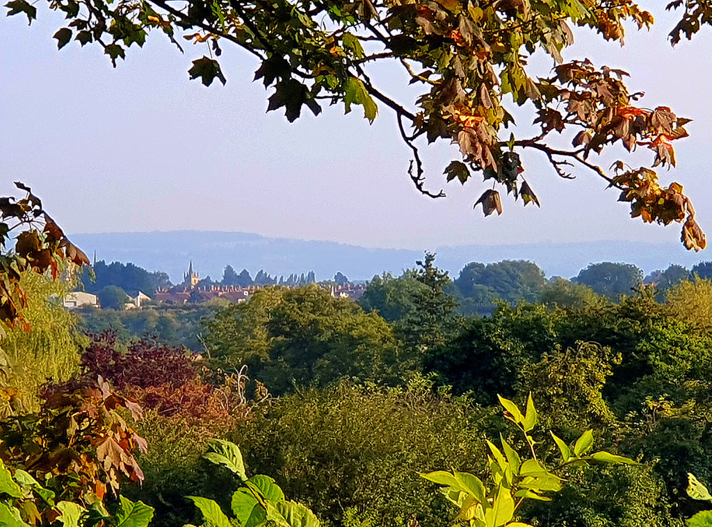
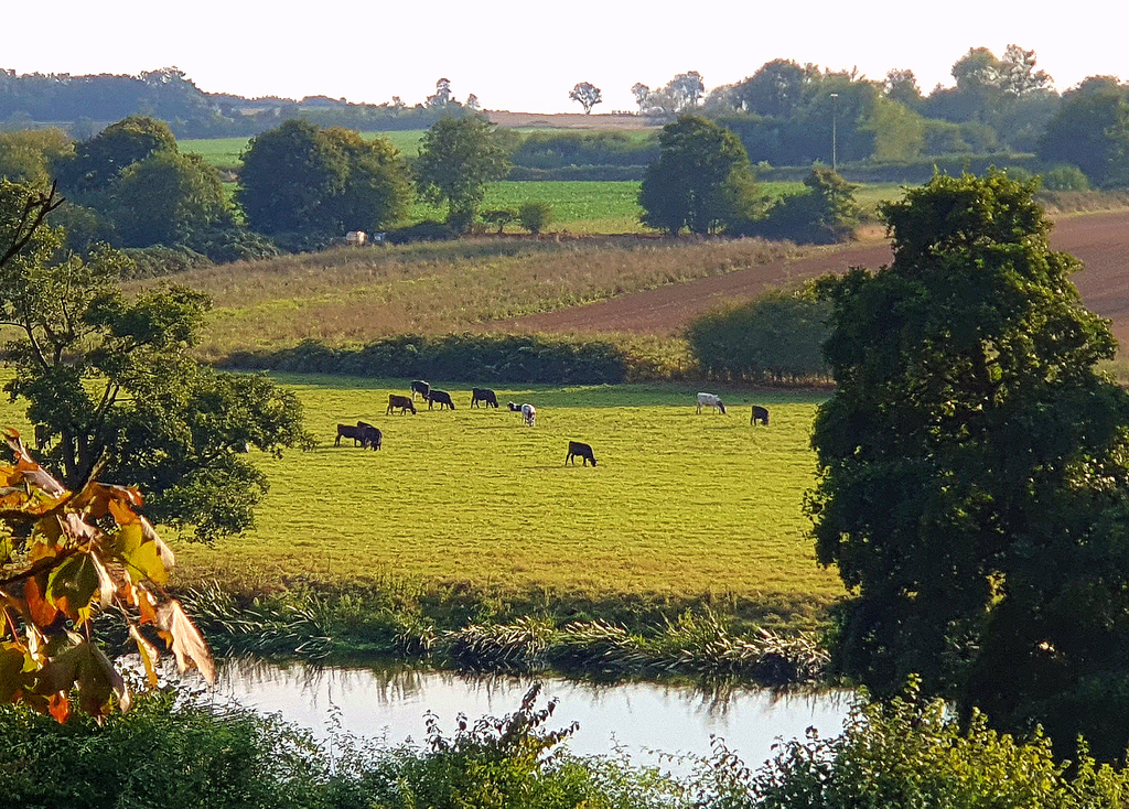
Opposite the entrance to an industrial estate on the outskirts of Evesham (and 150 metres before a Tesco superstore), turn right through a gate and onto a footpath which leads down to the riverbank. Keep to this path along the Avon for the next 700 metres.
Shortly after going under a railway bridge, you come to the playing-fields of Evesham Rugby Club. After the first rugby pitch, turn left and take the track uphill for 350 metres to Briar Close Business Park. Where the path meets a road, turn right and walk for 70 metres to Briar Close. Turn right and follow Briar Close for 300 metres to the junction with Avon Street. Take a left turn onto Avon Street and walk 130 metres up to the A4184 Evesham High Street, at which point you return once again to the Ridgeway. Turn right on the High Street and walk 50 metres.
On your right is 51 High Street (built 1692), known as Dresden House, which accommodated the musical boarding school attended by Tolkien’s wife, Edith, between c. 1903 and 1906.
Keep going southwards for 260 metres along the High Street, which becomes Vine Street. Use the pelican crossing to reach the lefthand pavement and then enter the precinct of Evesham’s parish churches via the gate in the low brick wall.
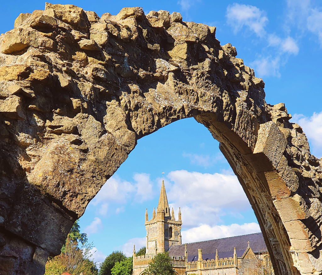
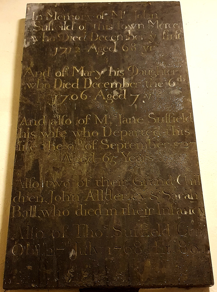
Straight ahead of you is All Saints Church, one of the churches of Tolkien’s maternal ancestors, where many members of the Suffield family were baptised, married and buried. Inside, on the lefthand wall of the narthex, you can find a monument to one John Suffield (1644-1712). Although the inscription does not say so, his first wife shared the same name of Tolkien’s mother: Mabel Suffield.
Walk around the precinct in a clockwise direction to reach the second of the two churches.
St Lawrence’s Church, built in the 12th century but now redundant, is another of the churches where Tolkien’s Suffield ancestors worshipped.
Emerge from the precinct onto Vine Street via the larger gateway near St Lawrence’s. Turn left and walk 50 metres, past the attractive 14th-century buildings of the Almonry Museum. Where Abbey Road meets the roundabout on your right, use the traffic island to cross over. Then keep to the right of the veterinary hospital to reach Merstow Green. Proceed westwards on Merstow Green for 120 metres, bringing you to the entrance to Boat Lane.
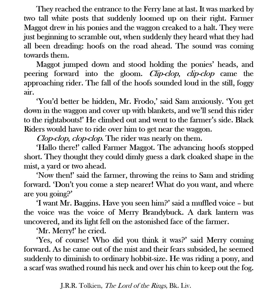
Walk down Boat Lane for 400 metres.

This brings you to the Hampton ferry crossing and the end of Stage 3 of The Shire Way.
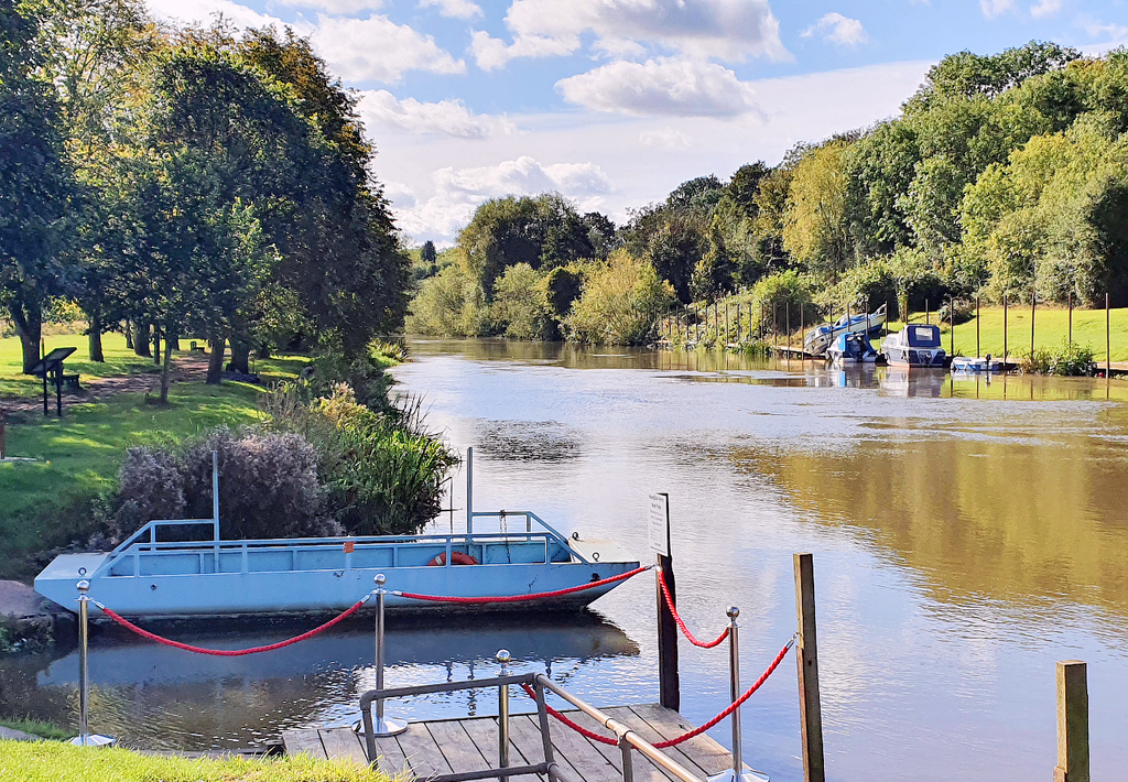
Before embarking on Stage 4, you may wish to find overnight accommodation in Evesham. However, if you do not intend to complete the ‘homeward’ stages, you could take the ferry across the river and then walk back to Evesham railway station via the south bank (i.e. Pershore Road and Waterside).
By crossing back over the Avon at Bridge Street, you will have an opportunity to see Bengeworth, where Tolkien’s direct ancestors lived prior to 1810. In total, it is around 3 km from Hampton to Evesham station by this route.

NEXT: Stage 4 of The Shire Way