Distance: 7.9 miles / 12.7 kilometres
Total ascent: 800 feet / 244 metres
Walking time: 3 to 4 hours
Leg 3B of The Shire Way imitates Frodo’s cross-country ‘short cut’ to the Bucklebury Ferry, which miscarries and results in the hobbits arriving some distance downstream of their destination. As such, the route does diverge for short distances from paths with a public right of way. If you prefer not to risk incurring the wrath of a local farmer or landowner, I suggest you follow Pippin’s advice and reach the river using the less scenic but more permissible Alternative Leg 3B, which features the added bonus of a pub. However, if you are determined to follow Frodo come what may, proceed at your own peril.
From the inside corner of King Edward’s Plantation, 200 metres south of Bevington Substation, leave the Ridgeway by turning eastwards and walk downhill along the edge of the woods. Aim for the raised wooden hunting hide at the bottom of the slope.

After walking for 670 metres and reaching the wooden hide, approach the stream which forms the boundary between Worcestershire (behind you) and Warwickshire (ahead).
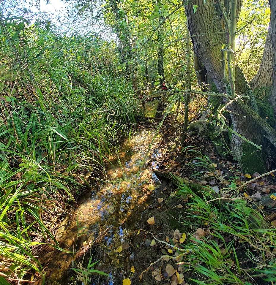
Climb into and cross over the stream bed and then turn right. Follow the line of the stream for 270 metres, walking along the righthand edge of a field.

The stream now turns eastwards and bars your path once again. Cross back to the other bank and penetrate a thin line of trees to enter a broad, upward-sloping field with two sets of overhead cables running through it.
Stick to the righthand edge of the woods and walk 500 metres uphill, passing under both sets of cables. In the south-west (or top-right) corner of the field, cross a ditch and enter Salford Coppice, where a bridleway called Can Lane runs from east to west.

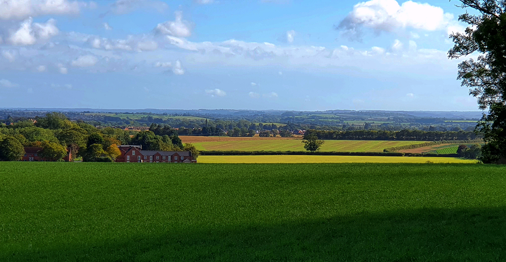
Turn right onto Can Lane and follow it for 50 metres. Where it meets a gravel track, turn left and continue for no more than 30 metres, until the track is enclosed by the coppice on both sides. Keep to the right of the trees and follow the bridleway uphill, along the side of the field for 220 metres. At the westernmost tip of the coppice, join the track on your left and follow it for 750 metres along the ridge, in the direction of Atch Lench.
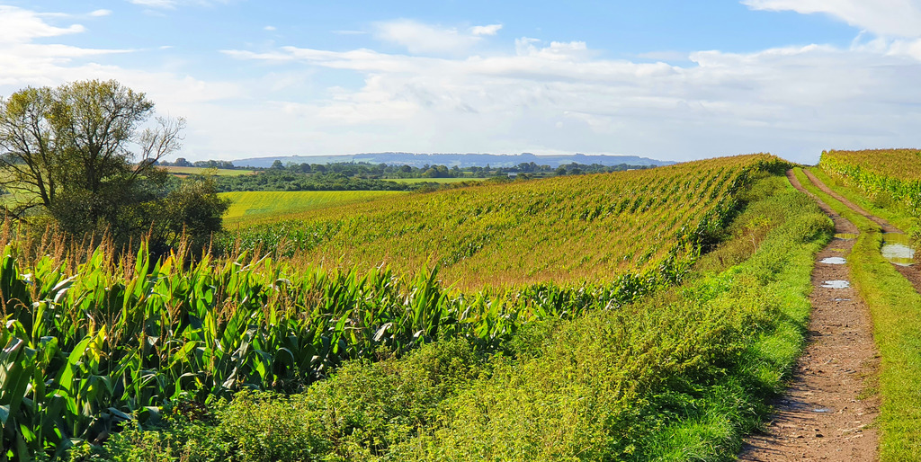
Where the bridleway bends right into the village, continue straight on a footpath across the field ahead.
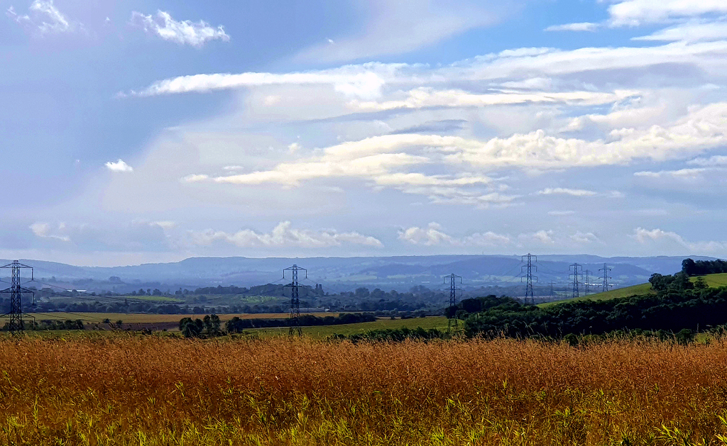
On the far side of the field, go through a gap in the hedge to enter a sloping orchard. Follow the path to your left and downhill for 120 metres. At the corner of the orchard, again pass through a gap in the hedge and continue downhill through the same field, aiming for the prominent oak tree in the tree-line 190 metres below. Turn right and walk along the tree-line for 250 metres to Leys Road. Cross straight over the road and follow an old footpath for 400 metres, keeping slightly to the left of the hilltop in the next field. This brings you to the formerly extensive woods of Rough Hills.
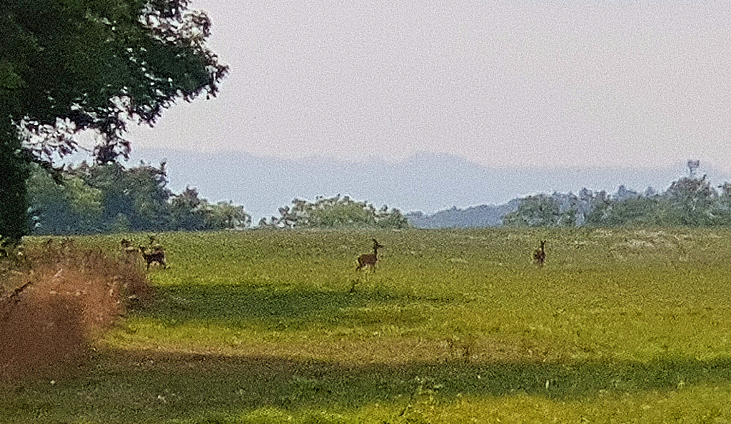
Aim for the left corner of the woods, where it’s possible to cross Harvington Brook and find a gap between the trees. Turn left onto what looks like little more than a deer track. Continue following this old footpath as it bends almost immediately right and takes you out of the woods. Now aim for the right corner of the next remnant of woodland up ahead. As you cross the intervening field, the green, copper-clad spire of St James the Great Church in Harvington, should be visible to your left.

Keep to the right of the next stretch of woodland and continue following the old footpath for 350 metres. By this point the woods on your left will have become a broken line of trees. Where there is a large gap in this line, switch to the left side of the trees and follow them for a further 180 metres. When you see a track leading uphill to the now derelict Leasow Farm amid a clump of trees on your right, switch back to the right side of the tree-line.
Continue following the old footpath south-westwards for 600 metres more, keeping to the right of a large patch of woodland.
Leave the field you have been skirting via a gateway that opens onto the road called Hipton Hill. Turn left. Here, you are back on the ancient Ridgeway, but only for 80 metres, as far as the Lodge on your right. Should you wish, it is possible to continue on the Ridgeway all the way into Evesham. However, if you faithfully agree with Frodo that it would be unwise to leave the cover of the trees just yet, turn right onto the bridleway beyond the Lodge.
Follow the bridleway through the fruit trees of Hipton Hill Wood for 300 metres, after which distance the path turns right and wriggles between two rows of trees for 100 metres. Then turn left through a gap in the vegetation and enter the field beyond. Aim for a gap in the hedge at the righthand end of the field, 270 metres away. Beyond this gap, the bridleway branches left through a gate and crosses a couple of fields, bringing you after 250 metres to Sheriffs Lench Farm.
Continue along the bridleway as it weaves around the south and west sides of the farm buildings (now divided into individual dwellings). This brings you to a 70-metre stretch of broad, gravelly driveway which in turn leads to a small pond, where several tracks come together.

Here, you can choose to keep following the bridleway to the right of the pond for 440 metres and then turn left before a hedgerow to take a footpath for 170 metres into the hamlet of Sheriffs Lench. It is then necessary to turn left onto Hill Furze Road and walk 400 metres, before turning left again and joining the Wychavon Way as it passes to the left of Poplars Farm Cottage.
[A tempting short-cut would be to keep left of the pond and the barn beyond it, and then follow the hedgerow for 250 metres. Turn left where there is a gap in the hedge and walk 90 metres to the left corner of the wood. From here, walk between two fences for 100 metres to reach the Wychavon Way south of Poplars Farm Cottage.]
Follow the track away from Poplars Farm Cottage for 350 metres. After it has crested an arm of Swines Hill and entered a plantation of trees, keep left along the Wychavon Way.
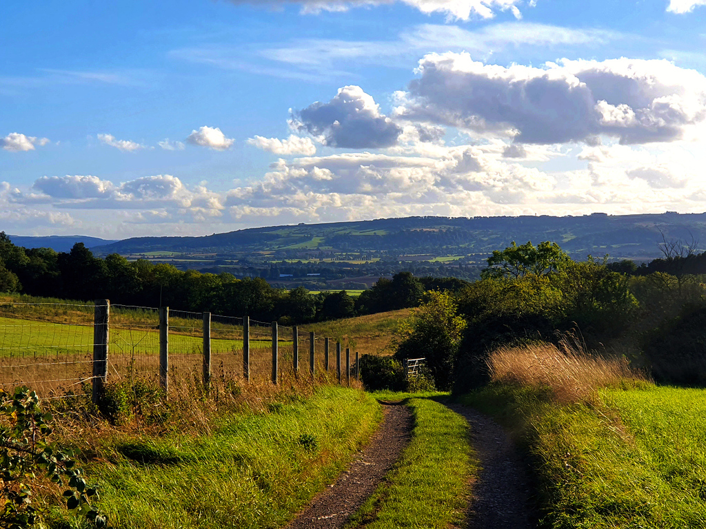
After a further 400 metres, ignore a bridleway which branches off to your right and keep going along the Wychavon Way, which passes between a field (on your right) and a line of trees (on your left). At the corner of the 200-metre-long field, join the more substantial lane through the vegetation on your left. Follow the lane steeply downhill for 200 metres as the trees of Cold Knap Wood give way and permit a welcome glimpse of the River Avon.
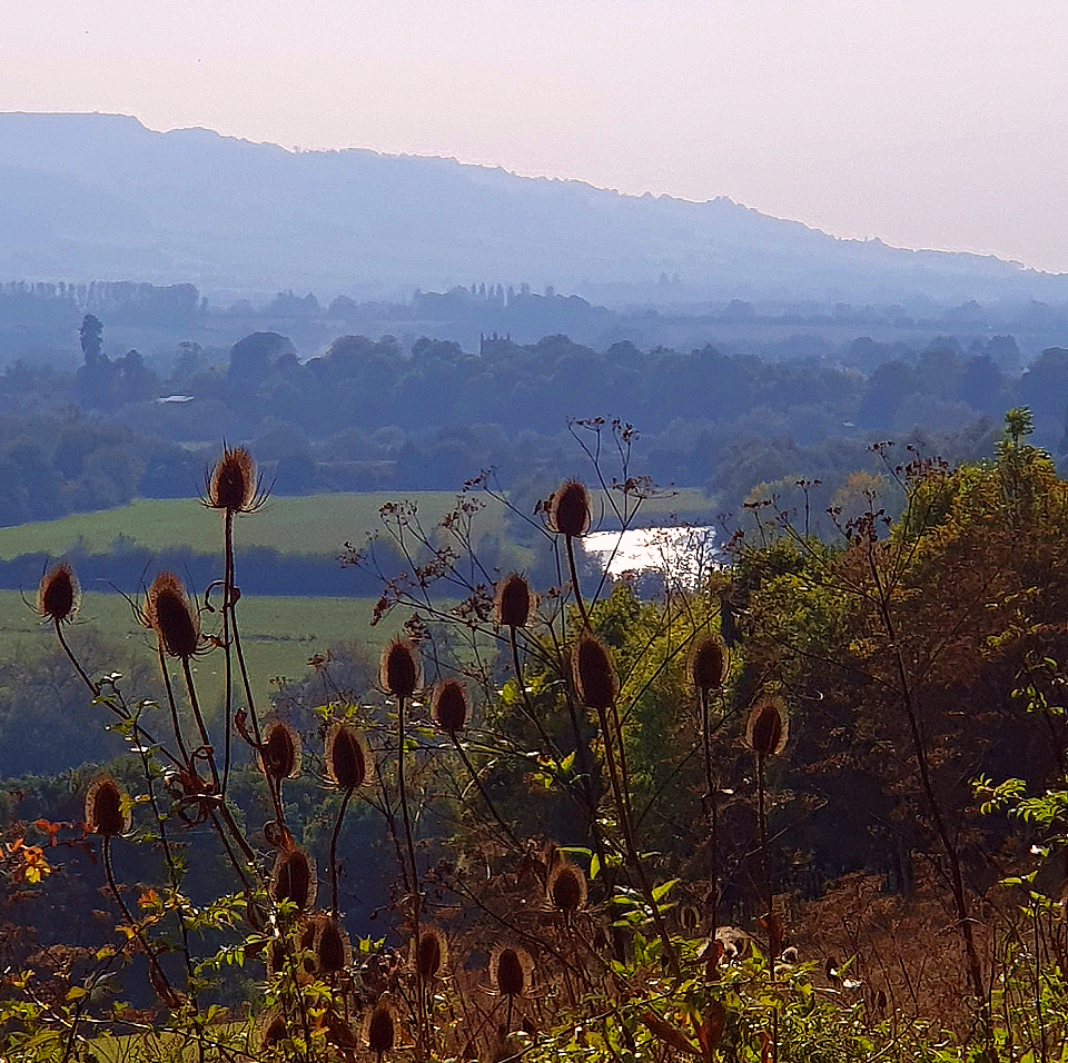
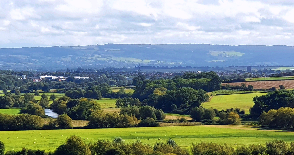
Continue following the Wychavon Way as it turns right (150 metres downhill from the large house called ‘Highclere’) and skirts the southern edge of Craycombe Coppice.
Follow the Wychavon Way along the edge of the woods for 700 metres, to the point where a footpath diverges left and downhill towards the busy A44 Evesham Road. Here, you can choose to pick up the next leg of the journey by turning left. If you are in need of sustenance, however, continue straight on and complete Leg 3B, which terminates at The Cafe, Craycombe.
Continue along the Wychavon Way for a further 400 metres as it bends right and uphill. Where a gate blocks access to the Craycombe estate, take the steps on the right instead. Next, walk up the right side of a small field to reach a track at the top of the ridge.
Turn left and follow the track for 150 metres, passing Machine Farm on your right.
Turn off the Wychavon Way by taking the footpath that runs along the driveway of the house on your left, opposite Machine Farm. Walk along the driveway for 180 metres, past the house and a tennis court. Where the driveway takes a ninety-degree turn to the right, go straight ahead instead and cross a small paddock. There is a gap (and the remnants of a stile) in the hedge opposite the entrance to the paddock, on its left side. Negotiate this as best you can and then walk down the left side of the fields beyond.
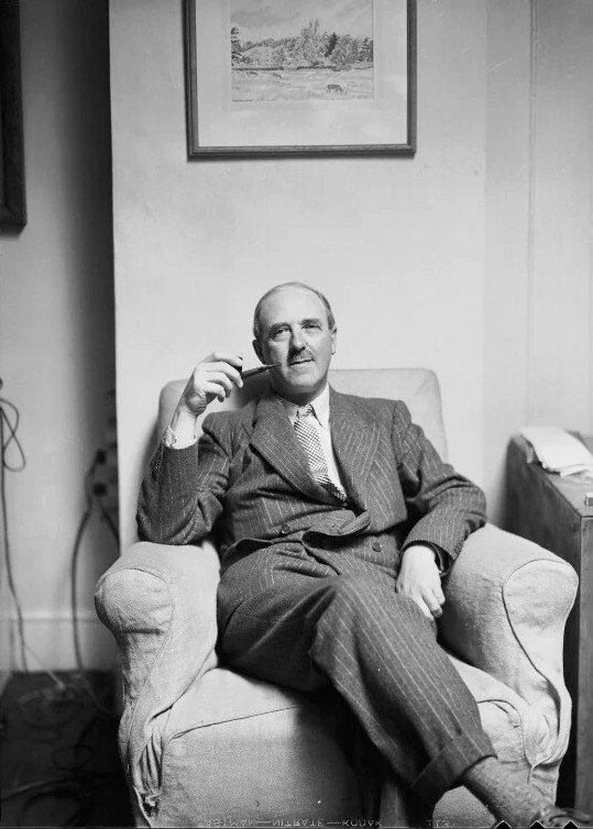
After 180 metres, you should gain a view of Craycombe House (built 1791), below and to your left. Between 1932 and 1939, this was the home of another successful Birmingham author, Francis Brett Young (1884-1954). Although nearly eight years older than Tolkien, Brett Young shared with him the experiences of losing his mother during adolescence, of meeting his future spouse in north Edgbaston (around three years before Tolkien) and of being invalided out of the army near the end of the First World War. Brett Young likewise fictionalised the West Midlands landscape in his ‘Mercian Novels’.
Also visible from here is the endpoint of Leg 3B: the café at Craycombe Farm. Unfortunately there is no rear access to the farm with a public right of way, therefore you must decide whether you are prepared to jump the two gates on either side of the field below and to your left. This brings you to the drive that leads between Craycombe House and the farm, down the side of a golf driving range. Turn right and walk 170 metres down the lane. The café is situated in the north-west corner of the farm buildings and has outdoor seating in the courtyard.
NEXT: Leg 3C of The Shire Way