Distance: 7 miles / 11.3 kilometres
Total ascent: 400 feet / 122 metres
Walking time: 2.5 to 3 hours
From The Bull’s Head pub on the A422 High Street in Inkberrow, take the lane known as Village Green eastwards for 350 metres, past St Peter’s Church. Where the lane bends sharply left after a downhill section, turn right and then almost immediately left onto a track that continues eastwards. Follow this footpath uphill and then along the righthand edge of a field for 280 metres. Where the footpath crosses a bridleway at the end of the field, go straight over and climb the hill beyond. Continue on this path for a further 550 metres, at which point it meets Knighton Lane, opposite Lench Farm.
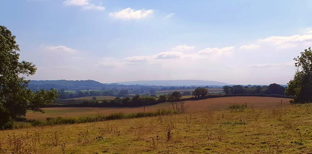
Cross Knighton Lane and the stile to the right of the farm, taking the footpath beyond for 270 metres as it traverses two fields. Upon reaching a bridleway, turn left and follow it for 200 metres along the righthand edge of a field. Look out for the boundary of the field through the trees on your right. Having passed this, turn right onto a footpath heading south-eastwards. Follow this path around the edge of the field for 280 metres and towards the right corner of a small patch of woodland, where there is a crossing over a brook. Once over the brook, head towards the lefthand corner of a long, curving field and (heeding the sign which says ‘private property’) turn right onto a track which brings you again (after 250 metres) to Knighton Lane.
Turn left and follow Knighton Lane eastwards for 1.4 km, past Little Knighton Farm and to within 180 metres of the A422. At this point, take a footpath on the right which is now accessible only via the gates at the entrance to Dalehouse Farm. Go diagonally across the field to the left of the farm entrance for 200 metres, aiming for a stile beneath a single tree in the top left corner. Another 160 metres uphill from the stile is an exit through the lefthand hedge onto the A422.
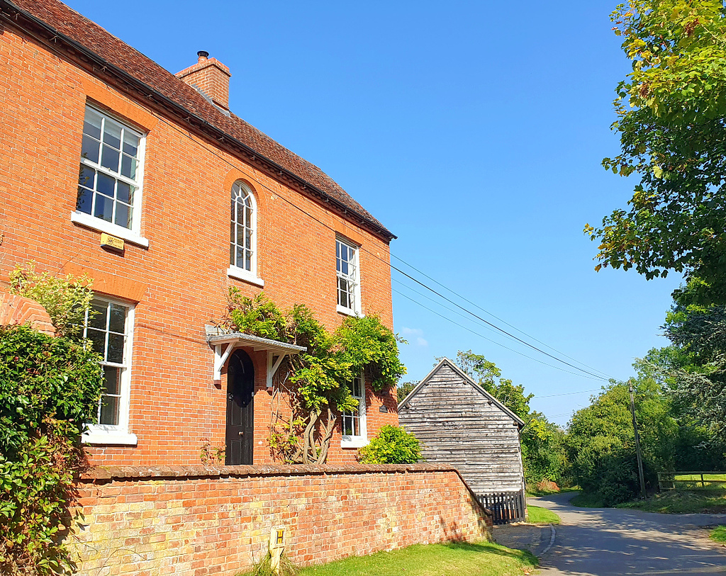
Cross over the A422 and take the footpath on the far side of the road for 250 metres to the top of the hill, where it meets the B4088 Evesham Road. Here, having avoided a 14-km/9-mile section of busy main roads, The Shire Way rejoins the East Worcestershire Ridgeway. Turn right onto the Evesham Road and walk along the perimeter wall of the property known as The Woodlands for 140 metres. Where the wall ends, opposite the entrance to another house, it would ideally be possible to take the hidden footpath on the right. However, this section of path is currently blocked by fencing and dense vegetation, rendering it impassable. It is necessary therefore to continue for a further 200 metres along the B4088 before turning right onto the track which leads into Nunnery Wood.
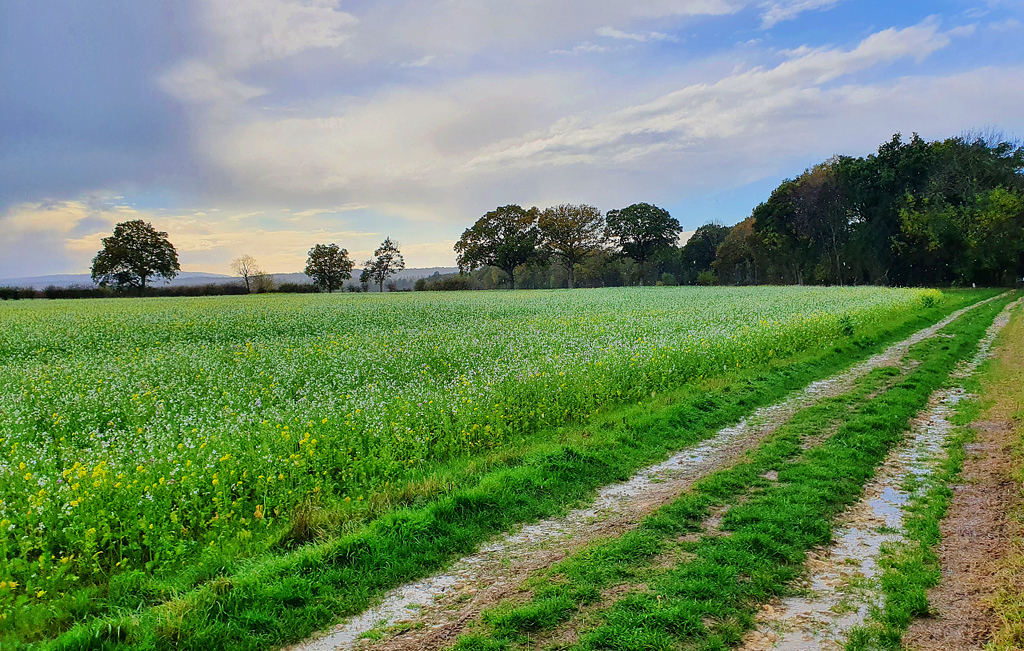
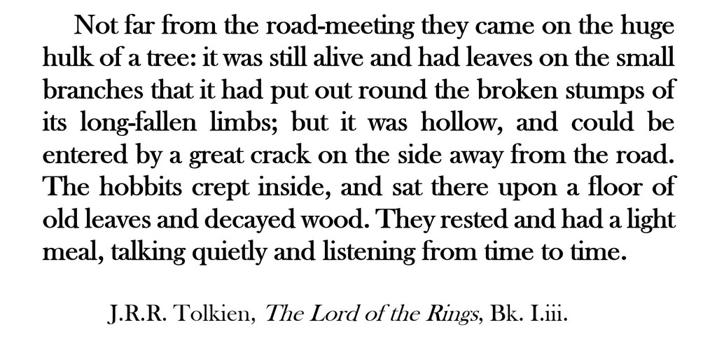
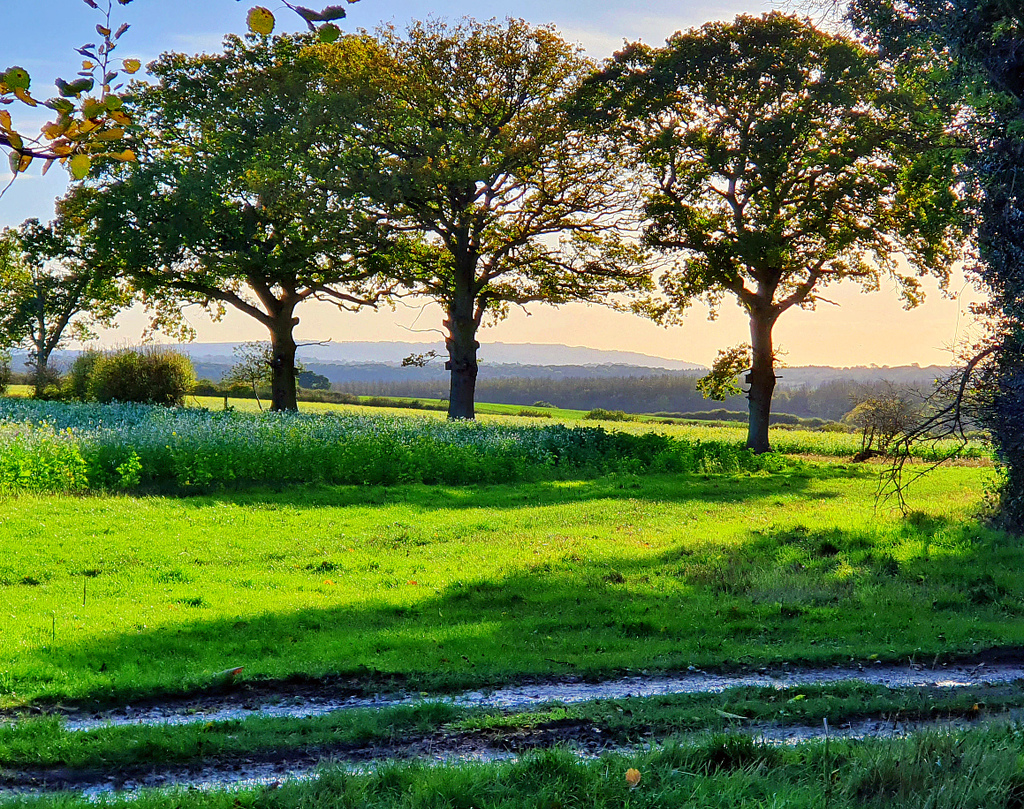
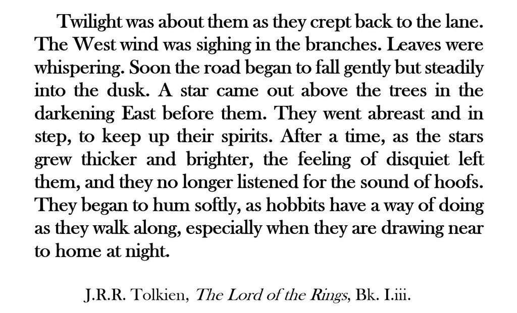
Follow the track downhill through Nunnery and Weethley Woods (for 1.9km in total), along roughly the line of the Ridgeway and the county boundary between Worcestershire and Warwickshire.
At a junction in the forest tracks after 640 metres, continue straight on.
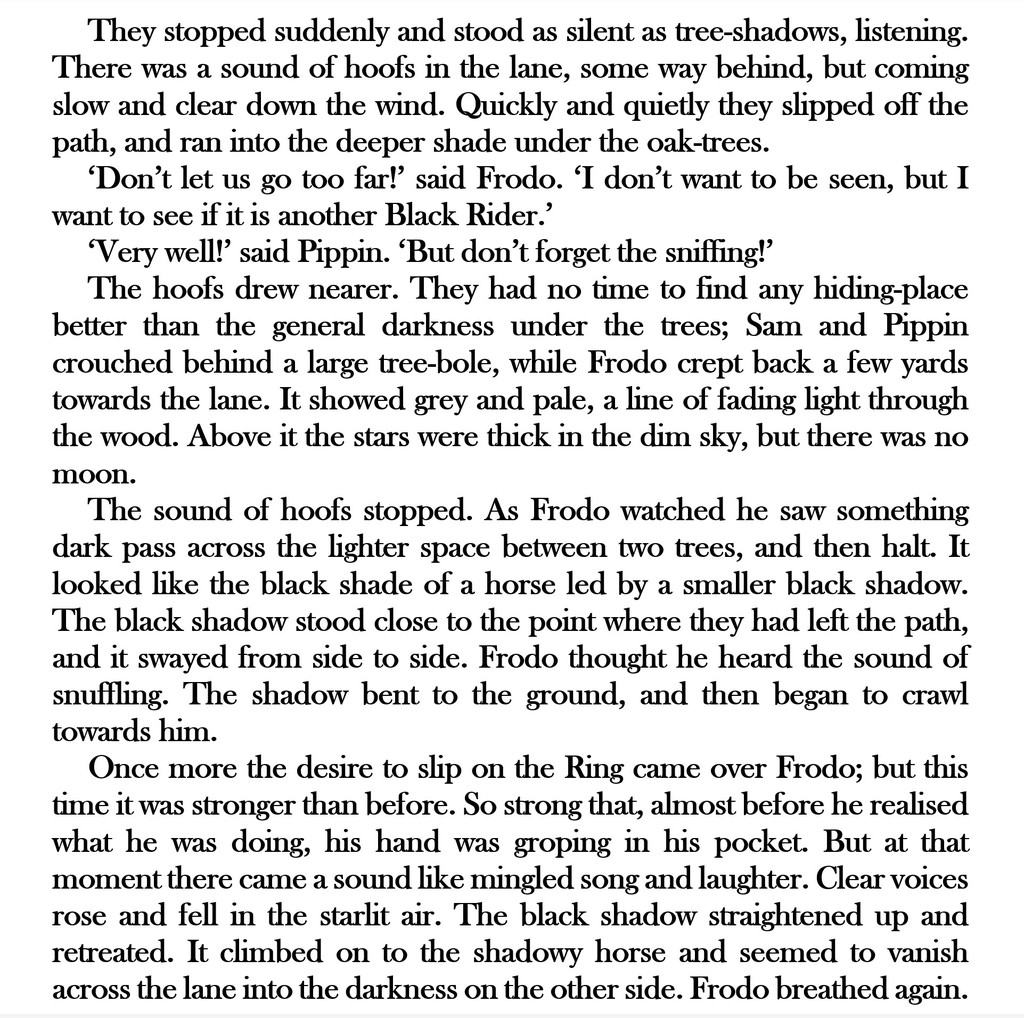
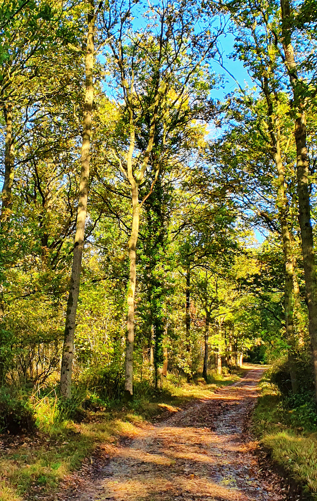
At another junction in the forest tracks 550 metres further on, go straight on again.


After 580 metres more, continue straight on at a third crossroads. 110 metres beyond this point, turn right onto an inconspicuous footpath and thus diverge from the Ridgeway once again for a short distance. Take the hidden path downhill through the trees and bushes for 160 metres until you reach a gate at the edge of Weethley Wood.
Go through the gate and turn left onto the footpath which clings to the edge of the wood. Follow this path southwards for 700 metres to the hamlet of Morton Spirton on Alcester Road. Cross over the road, turn left and then (within 20 metres) turn right onto a footpath through the trees of William’s Wood. The path soon turns right again, keeping to the northern edge of the wood. After 100 metres, exit the trees on the north side before rounding the corner of the wood on your left to reach a gate.
Beyond the gate, the path continues through a field for 300 metres, keeping to the outside edge of William’s Wood. In the next field, turn slightly to your right and make for its south-west corner. From there, the path runs alongside the Piddle Brook for 700 metres and passes under some power-lines. Having ignored one footbridge over the brook on your right, cross using the second bridge that you encounter. This leads to a path between two lines of trees, which you should follow for 100 metres before turning left and crossing a 450-metre wide field. At the far side of the field, turn left and keep to the bridleway that leads across Bevington Waste. After 650 metres, turn right onto another bridleway and thus rejoin the ancient East Worcestershire Ridgeway.

Take the bridleway which leads uphill, along the eastern edge of Commissioners Wood, for 380 metres.


Continue following the bridleway along this spur of Rough Hill for 350 metres, across Franklin’s Lane and past Bevington Substation.
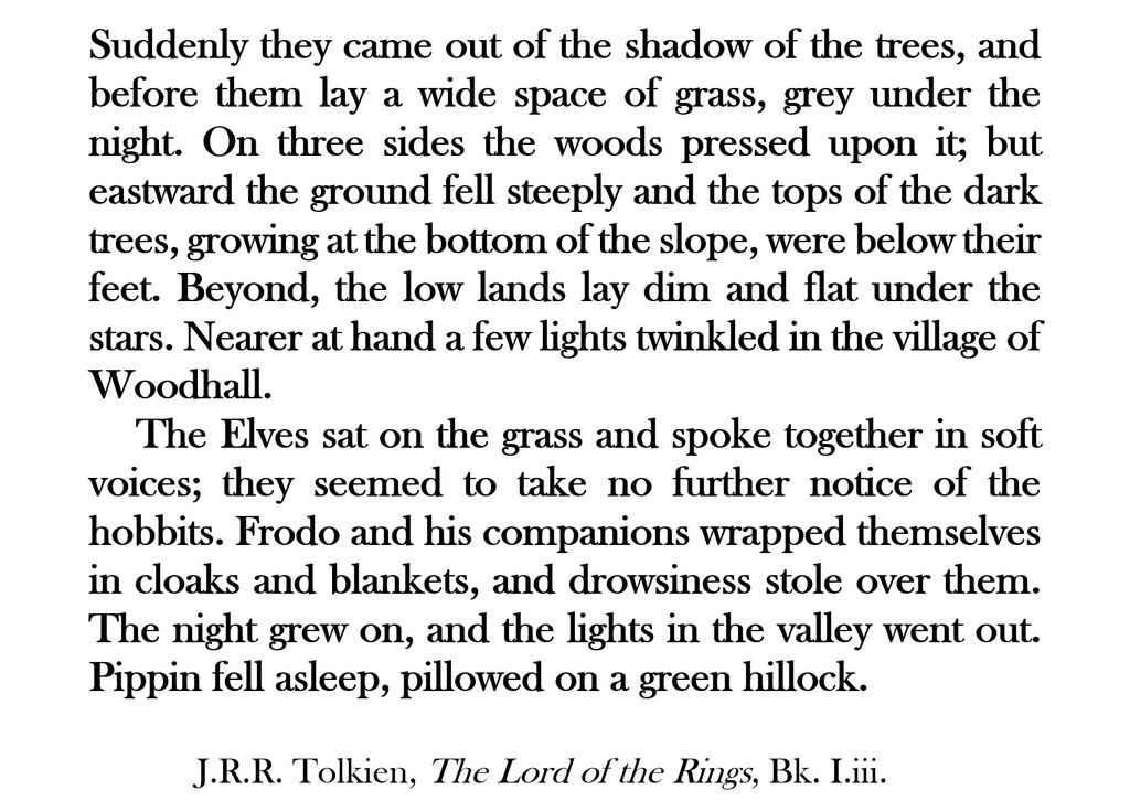
Keep to the bridleway for a final 150 metres as it makes for an inside corner of King Edward’s Plantation, where Leg 3A of The Shire Way ends.
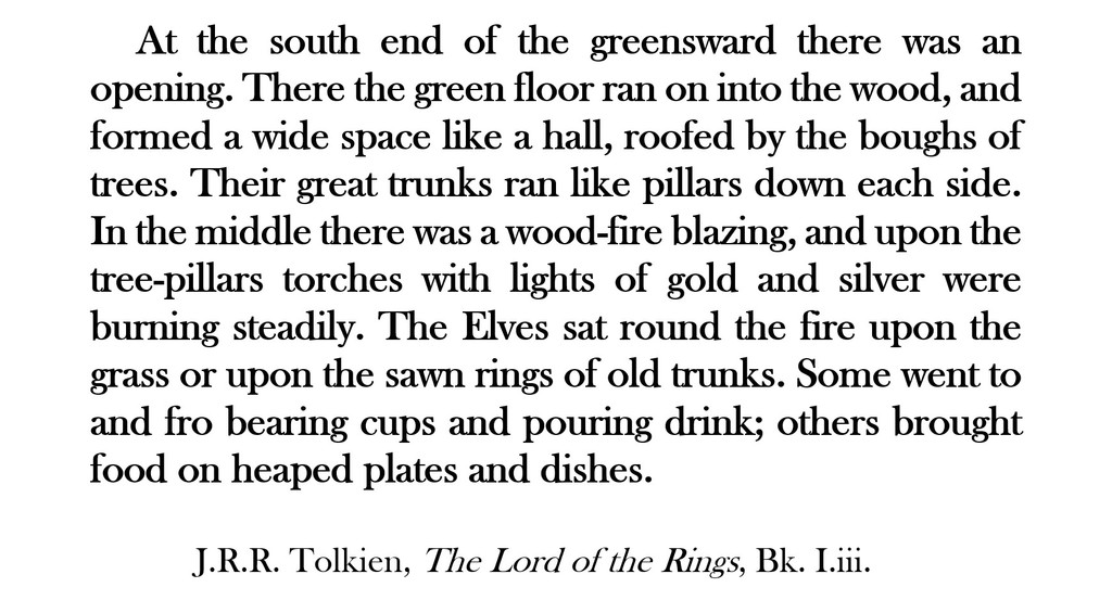
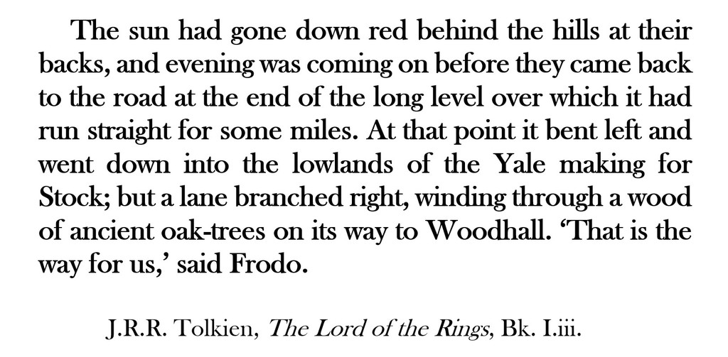
Sadly, there are no pubs or shops on Rough Hill (or any conveniences at all) so refreshments at this juncture will be limited to those you bring yourself. You may decide to press on after a short rest. In which case, like Frodo, Pippin and Sam, you have a choice to make:
NEXT: Leg 3B of The Shire Way: Rough Hill to Craycombe
OR: Alternative Leg 3B of The Shire Way: Rough Hill to Harvington