Distance: 7.3 miles / 11.75 kilometres
Total ascent: 245 feet / 75 metres
Walking time: 2.5 to 3 hours
This leg diverges from the imagined route of the hobbits along the busy Ridgeway and instead cuts cross-country through the heart of the Forest of Feckenham (the Woody End if you like). Beyond the village of Feckenham is the ultimate objective of this diversion: ‘Bag End’, the manor farm in Dormston which was owned by Tolkien’s aunt during the 1920s and ’30s and whose name he first attached to Bilbo’s home in The Hobbit (1937).
Leg 2B begins at the south-west corner of St Bartholomew’s Church, Tardebigge. Join The Monarch’s Way by taking the path which skirts the north side of the school for 80 metres. Turn left and walk down the west side of the school grounds for 160 metres. Upon reaching High House Lane, cross over and enter the field opposite via the gate. Thereafter, follow The Monarch’s Way southwards across the fields for 750 metres, passing between High House Farm (on your right) and Cutford House (on your left).
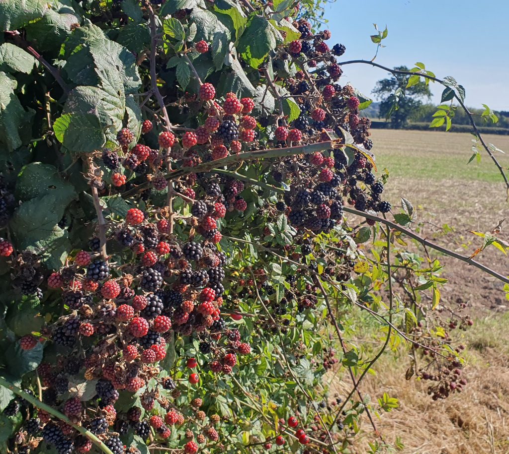
The trail is mostly visible on the ground as a line of well-trodden earth. Aim for the gaps in the hedgerows on the southern edges of the second and third fields, then turn a little to your right and cut across the north-west corner of the fourth field. Continue in the same south-westerly direction across the fifth field, keeping in line with the wind turbine beyond. However, do not pass through the narrow gap in the hedgerow on the southern side of the fifth field. Instead, leave The Monarch’s Way by turning right and keeping to the near edge of the field for 270 metres.
The sixth field, which contains the wind turbine, is the largest in the area. There, the path continues in the same south-westerly direction for 325 metres, past a field oak in the middle of the field. In the long seventh field, keep to the right side and the trees of Sheltwood Range for a further 300 metres. A small gully bisects the eighth field, which it is necessary to cross before exiting via the gate onto Sheltwood Lane.
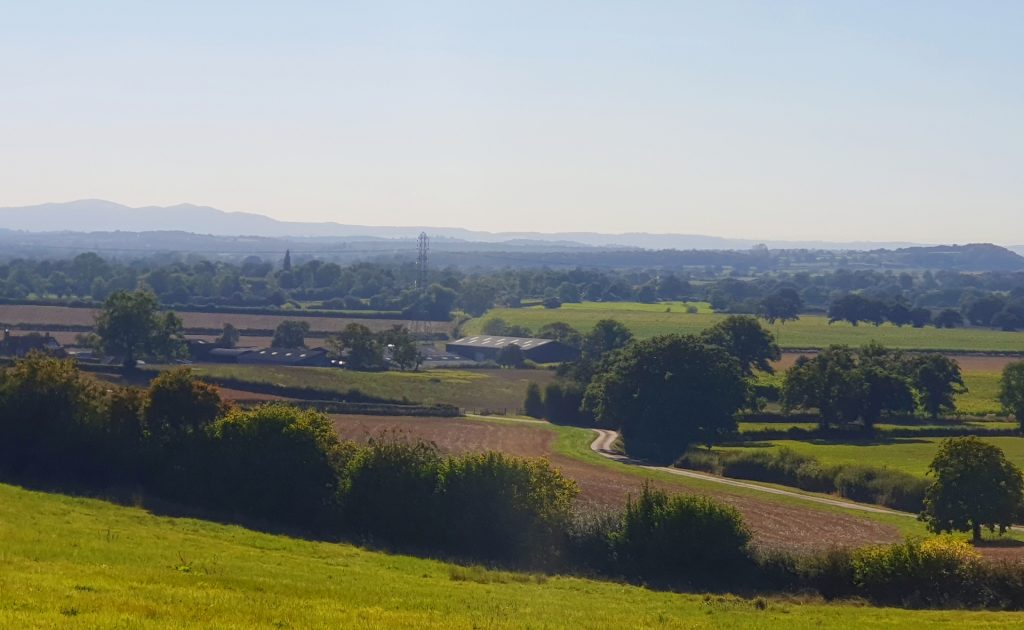
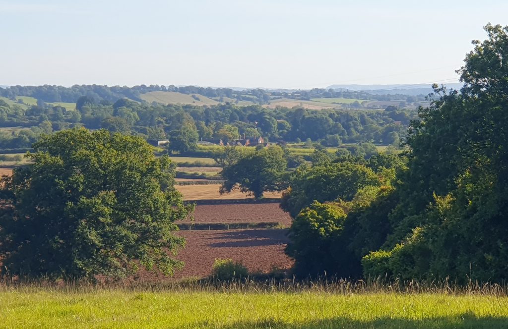
Where the footpath joins Sheltwood Lane on the inside of a sharp bend, carefully cross over the road towards the entrance to Sheltwood Farm and then take the footpath through the gate on your right. Follow this footpath for 120 metres uphill to a gate on the ridgeline, just to the right of the barn at the corner of the farm. Keep to the lefthand side of the next field, which affords a good view of the Worcestershire countryside to the west and south-west.
At the entrance to the third field, the footpath forks and the righthand way is not well-trodden. Aim for the leftmost tree on the opposite side of the field, where there is a stile in the fence. Continue for 230 metres to the back-right (southeast) corner of the fourth field, in the process crossing the same small gully as before. In the fifth field, turn left and keep to the hedgerow for 85 metres, bringing you to the junction of Copyholt Lane and Black Lake Lane.
Cross over Copyholt Lane and the grass verge beyond and then turn left onto Black Lake Lane, following it gently uphill for 400 metres. At the junction with Lower Bentley Lane, continue following Black Lake Lane around to the left. Pass Middle Road, which joins from the left 70 metres further on. Over the next 600 metres, until shortly before the junction with Manor Road, the road gradually bends right (or southwards).
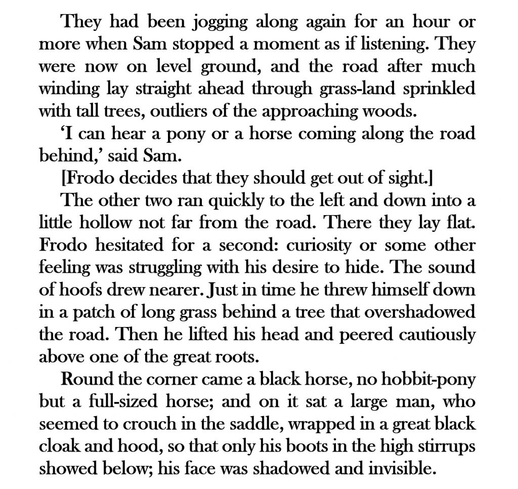
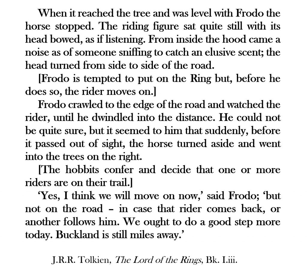
At the triangular (or ‘Godcake’) junction, Black Lake Lane meets Manor Road, which leads directly into Feckenham. However, The Shire Way keeps ‘a stone’s throw to the left’ of this road. Turn left and follow Manor Road for 30 metres only (as it becomes Banks Green); then turn right onto Angel Street.
Proceed for 700 metres along Angel Street, following it around to the right where it meets Pumphouse Lane at a larger Godcake junction. On the south side of Pumphouse Lane, go through the gate in the hedgerow. Take the footpath beyond for 100 metres to the gate on the opposite side of the field. In the second field, be aware that the correct path is crossed by another which lies on an east-west axis. Cross the plank bridge 60 metres ahead, enter the third field and turn right. Keep to the righthand edge of this field for 340 metres.
Cross an arm of Wheatfield Coppice and a small bridge before emerging through a gate into a large field with a farm track running crosswise through it. Walk 200 metres to the point where the track leaves the left side of the field. Follow the track for 120 metres as it bends left and is crossed by Swans Brook, at which point you may get your boots wet. After another 70 metres, the seventeenth-century Norgrove Court heaves into view on your left.
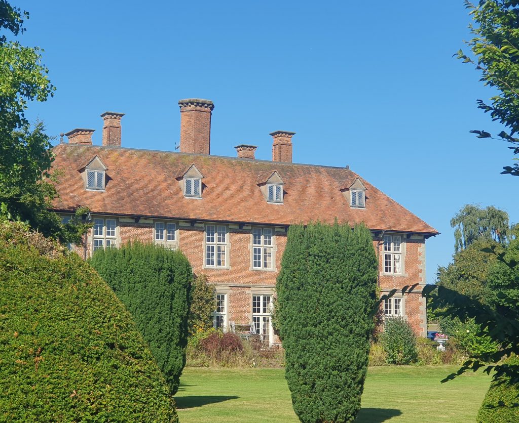
From the gated entrance to Norgrove Court, turn right and follow the driveway southwards for 400 metres, past the ponds, to Norgrove Lane. At this corner, turn right and proceed along Norgrove Lane for a further 400 metres to the junction with Sillins Lane. Here, look out for fast-moving traffic when turning right and then almost immediately left onto Ham Green Lane. You will pass The Brook Inn and may decide to pause at that establishment for refreshment.
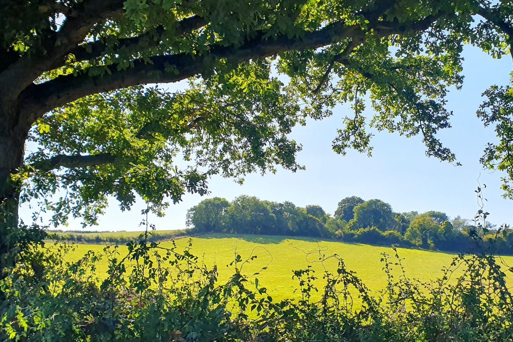
After walking 200 metres southwards along Ham Green Lane, climb the stile in the hedge on your right and take the footpath up to Mount Pleasant, perpendicular to the road. (WARNING: the path itself was overgrown with stinging nettles in September 2024 but may be bypassed by climbing the fence on the right and keeping to the edge of the field instead.) At the top of the hill, join the driveway of a house leading to Cruisehill Lane, the straighter road to Feckenham.
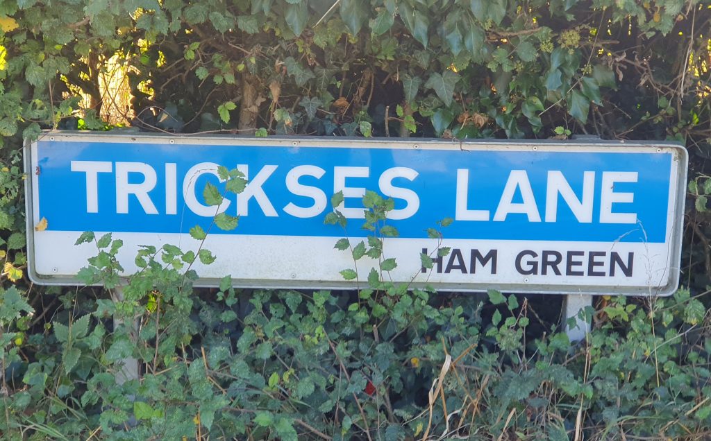
Turn left and follow Cruisehill Lane southwards for 450 metres. Where Cruisehill Lane bends abruptly to the left and downhill (70 metres after the turn off to Trickses Lane), take the track which branches right. This ancient holloway is known as Burial Lane because it was once used by the residents of Cruise Hill to transport their dead to the church in Feckenham.
Follow the Burial Lane bridleway southwards for 2.5 km (1.5 miles). Where it crosses another bridleway on the eastern slope of Berrow Hill and there is a signpost, turn left and downhill ‘to the Square’. Use the footbridge to cross the Bow Brook and follow the bridleway around to the left, passing what was formerly a scouring mill for polishing needles.
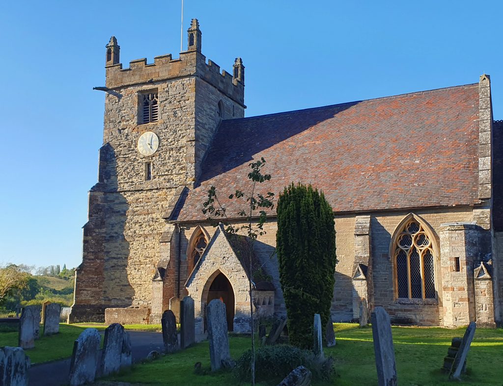
Continue along Mill Lane for 500 metres to Feckenham Square, St John the Baptist Church and the High Street. Turn right and walk along the High Street for 250 metres. This brings you to The Lygon Arms, which sits on the far side of the junction with the Roman salt way (now known as the B4090) and where Leg 2B of The Shire Way ends.
NEXT: Leg 2C of The Shire Way